Geofan.org Toolset: Geographic Exploration, Travel, Development, and More
Explore the Geofan.org toolset. Whether you want to compare regional maps, mark your own map and export GeoJSON, measure distances, or calculate map areas, we have the right tool for you.
MapAnnotate: Interactive Map Annotation Tool
Add markers, shapes, and text to maps. Export your creations as PNG images for travel planning, education, or reports.
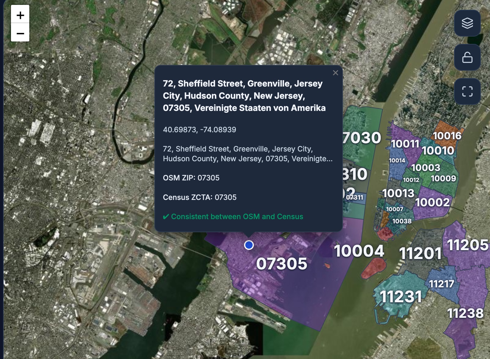
U.S. ZIP Code Map
Search locations, scan the map to visualize official ZCTA boundaries, and compare ZIP codes from OSM and Census data.
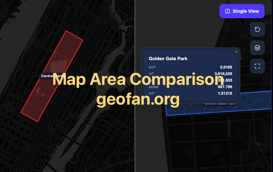
Map Area Comparison Tool
Draw two custom map areas, measure them in multiple units, and compare which one is larger with a visual chart.
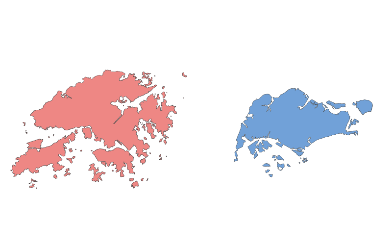
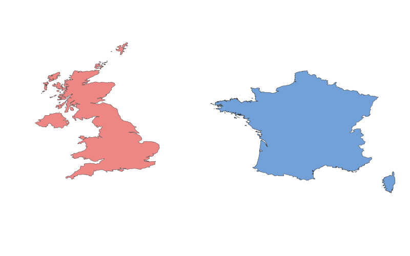
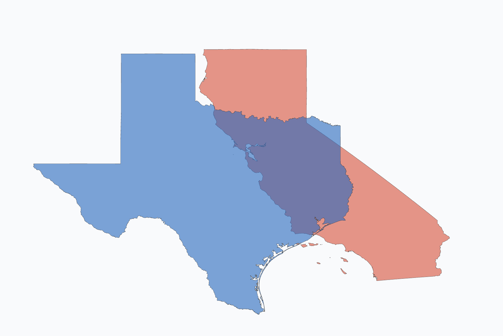
Region Map Comparison
Visually compare the size and shape of two geographical areas. Perfect for understanding the relative scale of different places.

Timezone Converter
Convert times between time zones instantly. Compare multiple locations and handle daylight saving time (DST) automatically.

Halfway Point Calculator
Easily calculate the halfway point between two or more locations on an interactive map. Display distances from the midpoint and plan fair meetings or road trips.

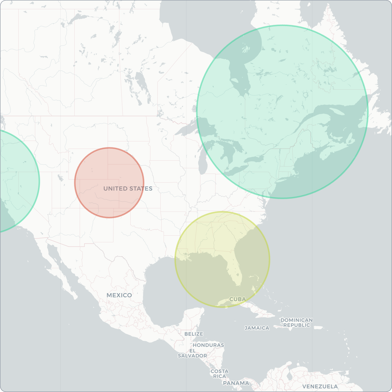
Population Radius Estimator - Calculate Population Inside a Circle
Estimate the number of people living within a specific radius anywhere on Earth. Draw a circle on the map to get instant population data using WorldPop analytics.
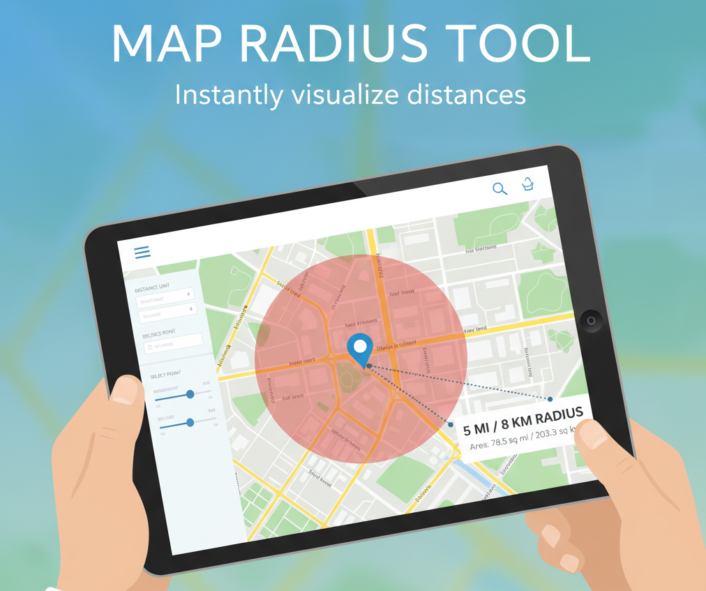
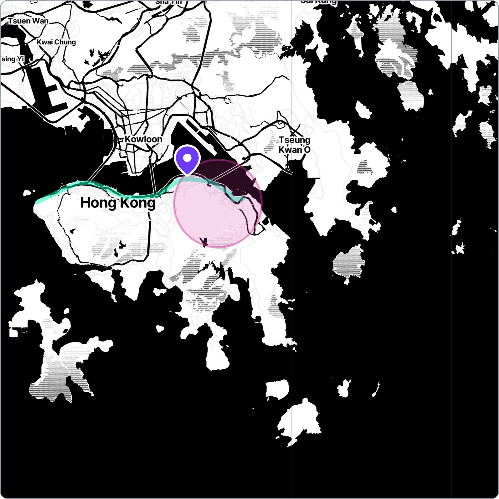
Map Radius Tool
Draw a radius on a map to find nearby amenities like schools, hospitals, restaurants, and more. Customize distance in km or miles and visualize circles on a map.
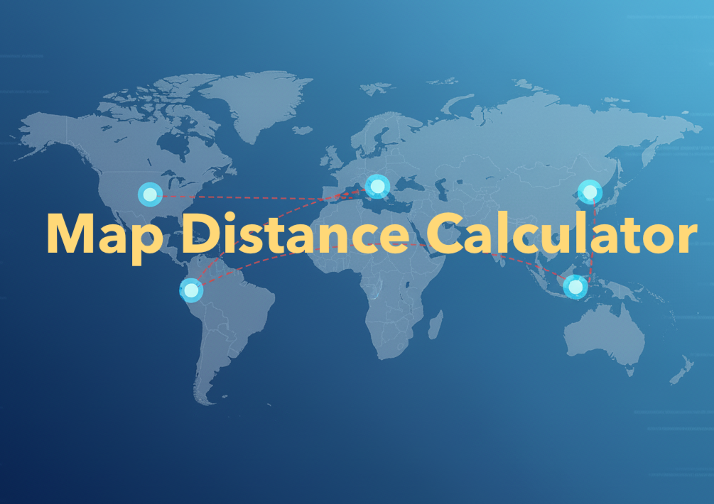
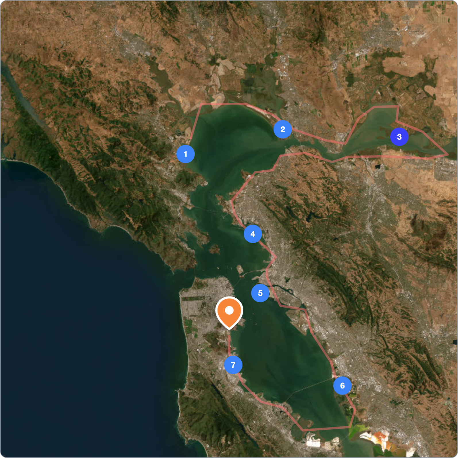
Map Distance Calculator
Easily calculate distance on a map. Click to add multiple points and draw a route (polyline) to see total distance and segment lengths. Instantly get neighborhood info for any point. Free, no signup required.
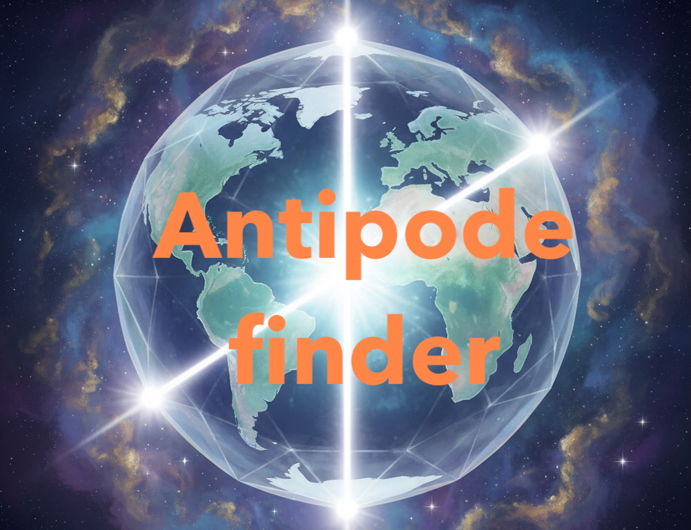
Antipode Finder
Ever wondered what's on the exact opposite side of the Earth? Use our interactive map to find the antipode of any location. Dig a hole to the other side of the world!
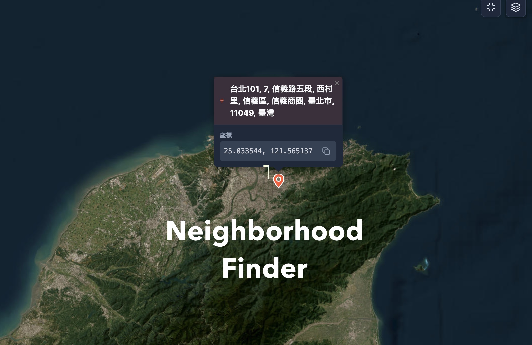
Neighborhood Finder
Instantly find your neighborhood, district, and zip code. Use your current location, click the interactive map, or enter an address or GPS coordinates. Accurate, private, and works worldwide.
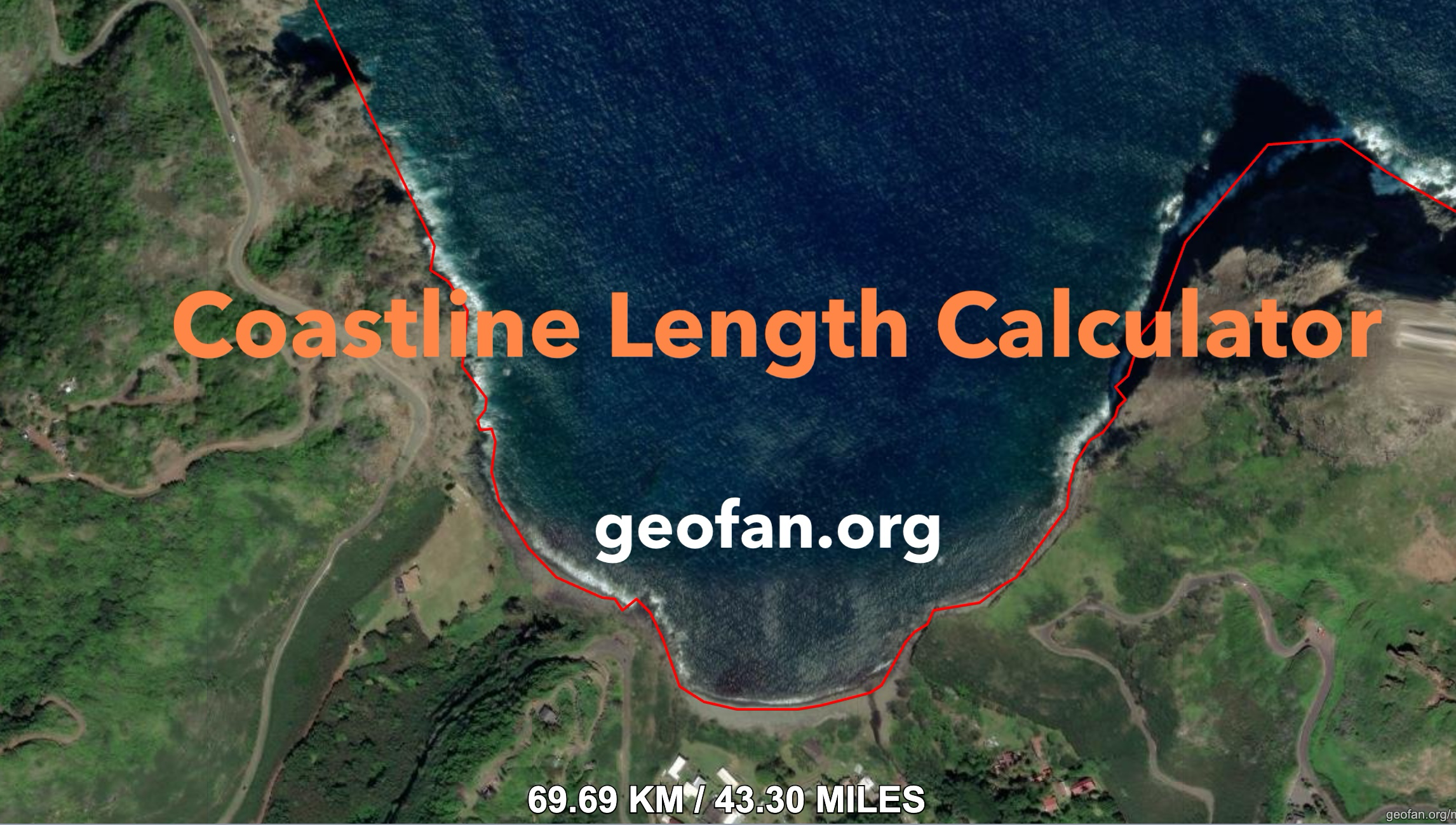
Coastline Length Calculator
Detect and calculate the length of the coastline in the current map view with customizable precision.
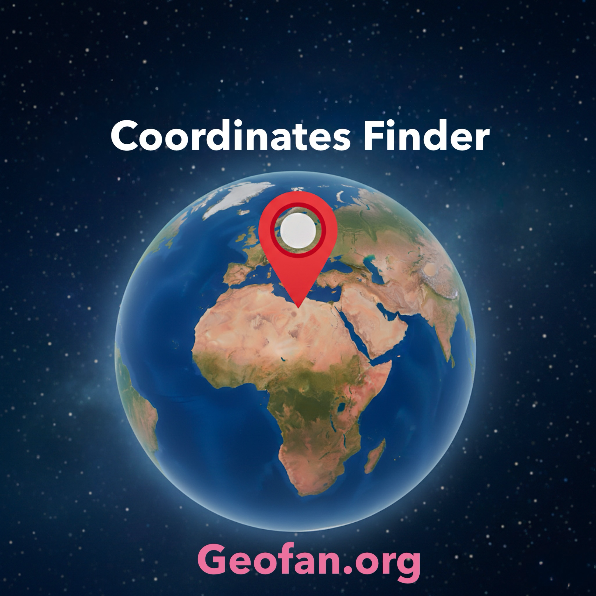
Latitude and Longitude Finder
Quickly find the latitude and longitude of any location with our easy-to-use coordinate finder. Instantly get your current GPS coordinates, convert an address to lat long, or share a precise point on the map with a link. Besides, there will be a 3D earth to visualize each coordinate with different color, which is invaluable for learners.
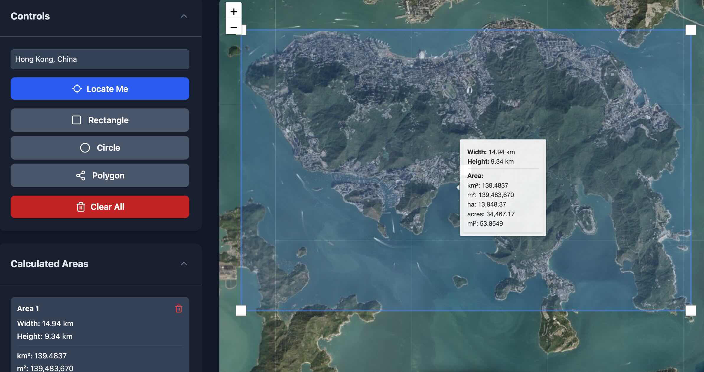
Map Area Calculator
Draw shapes on an interactive map to instantly calculate the area of any region. Supports multiple units for land surveying or planning.
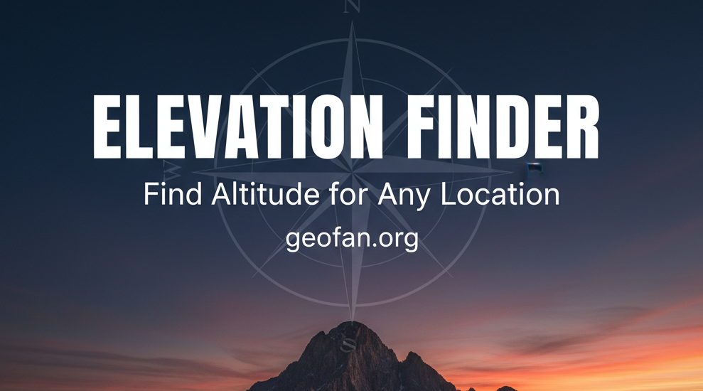
Elevation Finder
Find the elevation of any point on the map. Useful for hikers, planners, and outdoor enthusiasts.
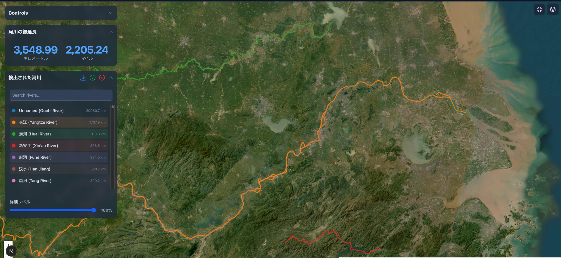
River Marking & Length Calculation
Automatically detect, mark, and measure river lengths on an interactive map. Analyze waterways and export data as GeoJSON.
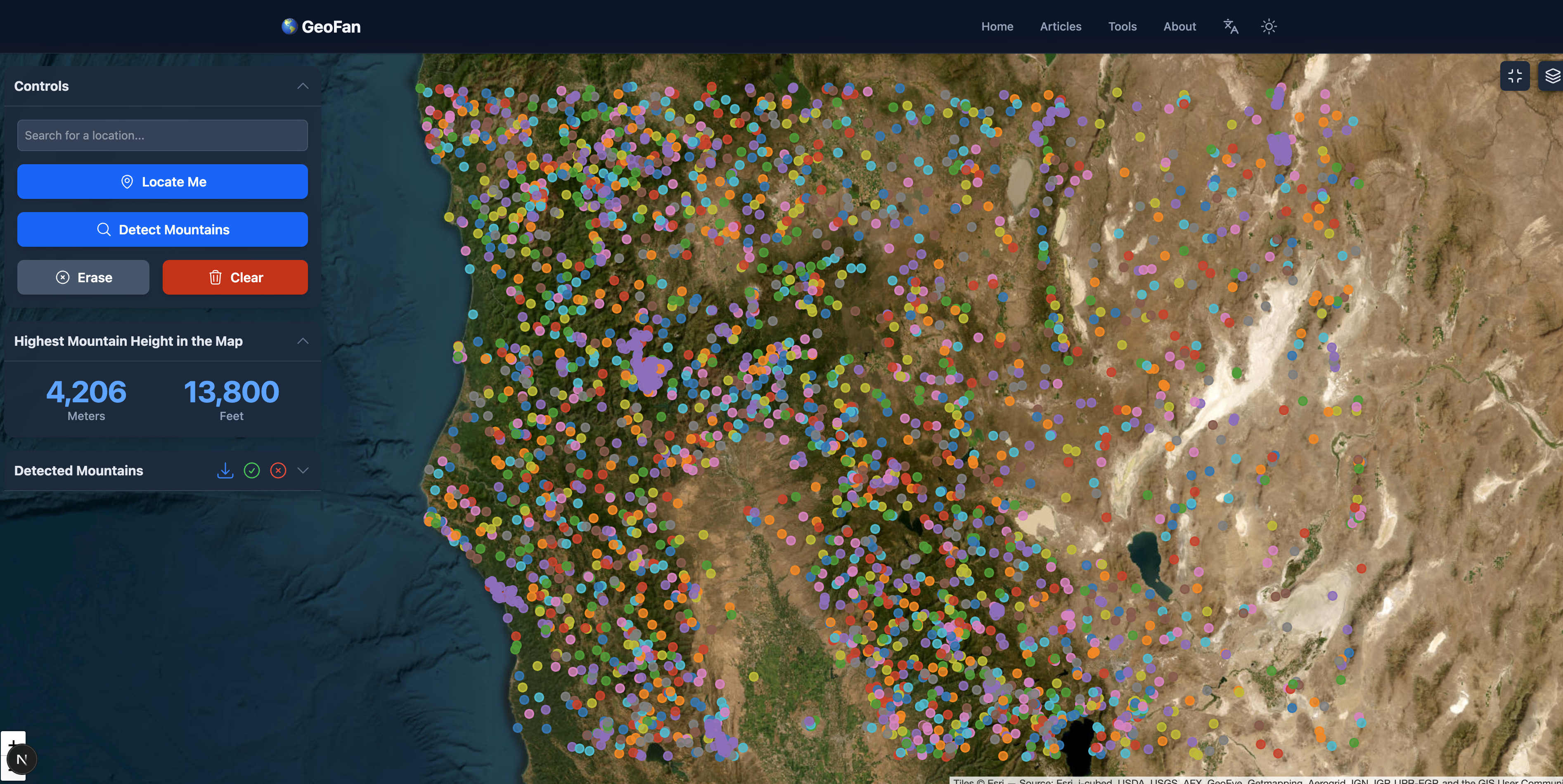
Mountain Marking & Height Calculation
Automatically detect, mark, and measure mountain heights. Visualize terrain and export data as GeoJSON.
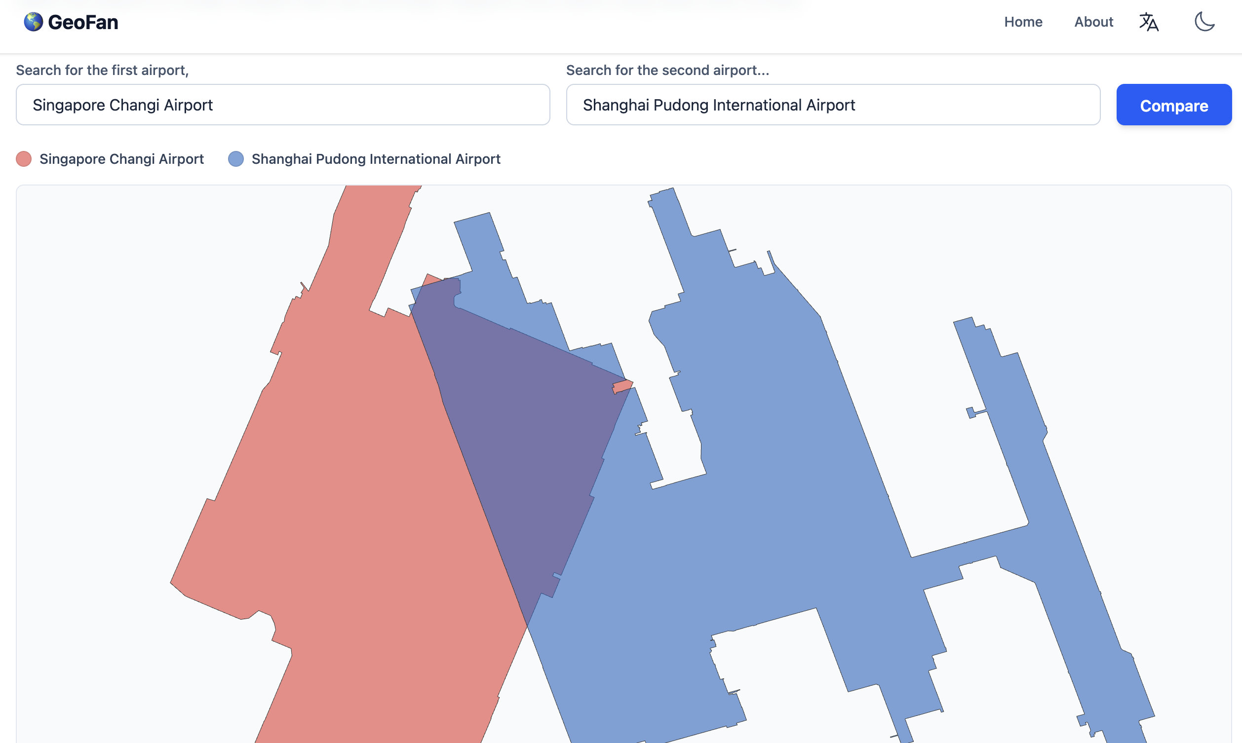
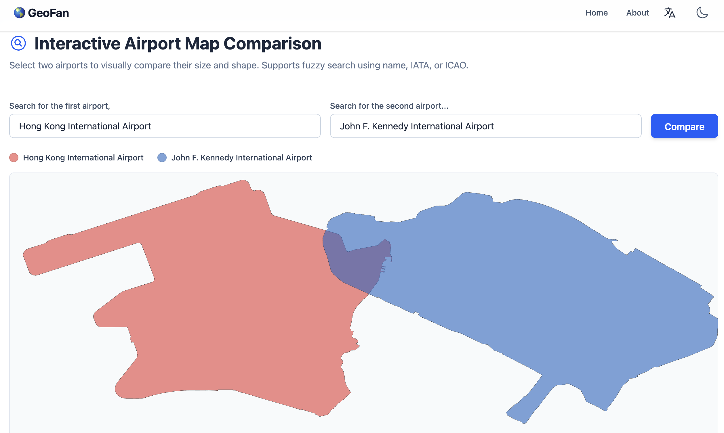
Interactive Airport Map Comparison
Visually compare the size and shape of two airports. Supports fuzzy search by name, IATA, or ICAO code.
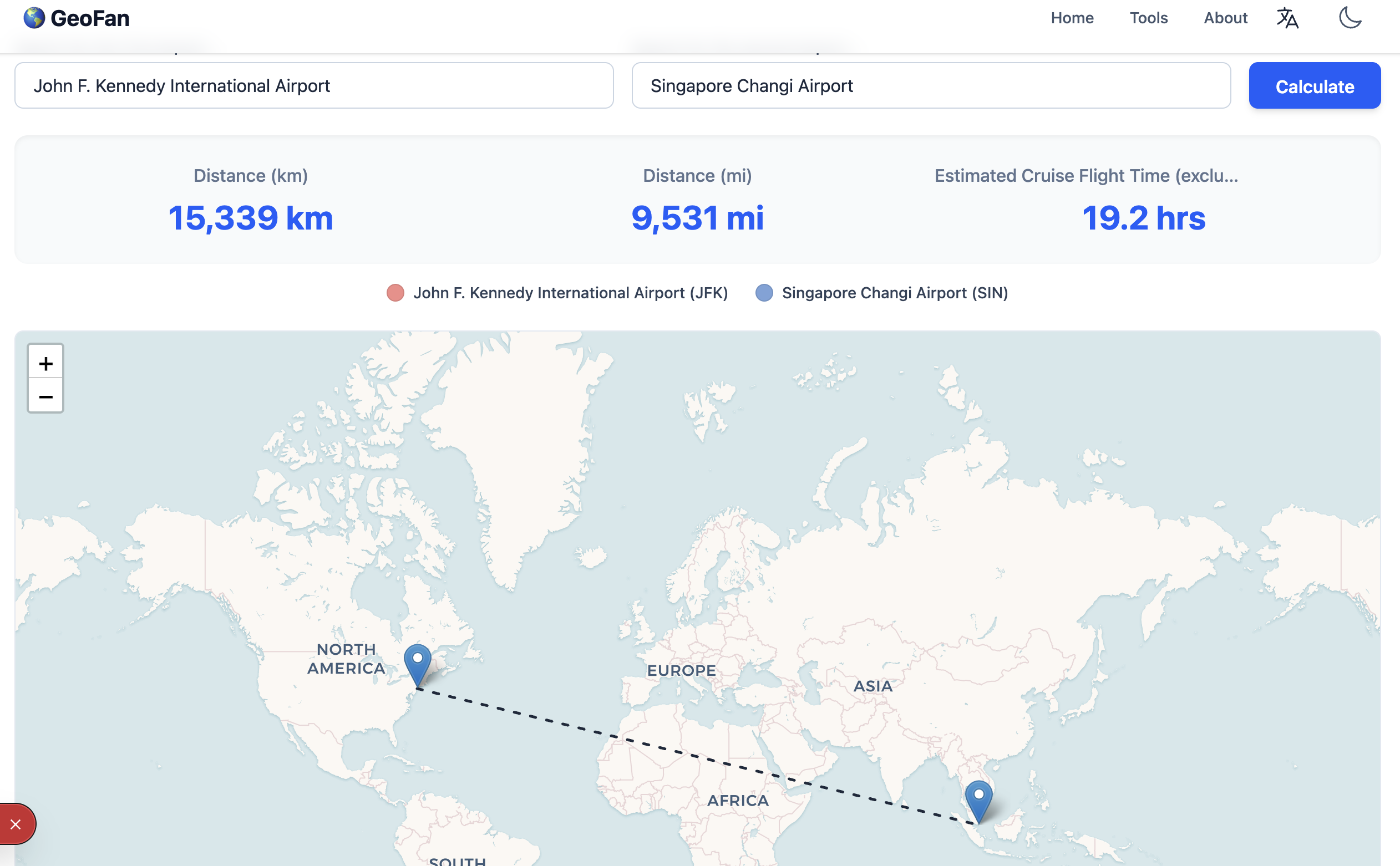
Airport Distance & Flight Time Calculator
Calculate the distance and estimate the flight time between two airports, visualizing their locations on a map.

JSON Compare Tool
A powerful online tool to highlight differences between two JSON objects, showing added, removed, and modified fields.
Why Use Our Geo-Tools?
Our tools are designed for accuracy, ease of use, and versatility, catering to professionals, students, and enthusiasts alike.
Precision and Accuracy
Leverage reliable geospatial data for precise calculations, from land area to flight distances.
Interactive Visualization
Don't just get numbers; see the data on interactive maps for better context and understanding.
Data Export
Take your work with you. Export your findings as GeoJSON for GIS software or as high-quality PNG images for reports.
Free and Accessible
All our tools are free to use without any registration required, available on any device with a web browser.