Hong Kong: Harbour Vistas, Sacred Sanctuaries & Living Heritage
3 groups · 13 placesGenerated
Coverage and limits
Thirteen representative landmarks spanning Hong Kong Island, Kowloon, and Lantau Island, organised into three themes: harbourfront viewpoints and ferry piers, traditional temples and monastic sanctuaries, and conserved civic and neighbourhood heritage sites.
Loading map…
Sources and credits
Harbourfronts, Ferries & Skyline Vistas
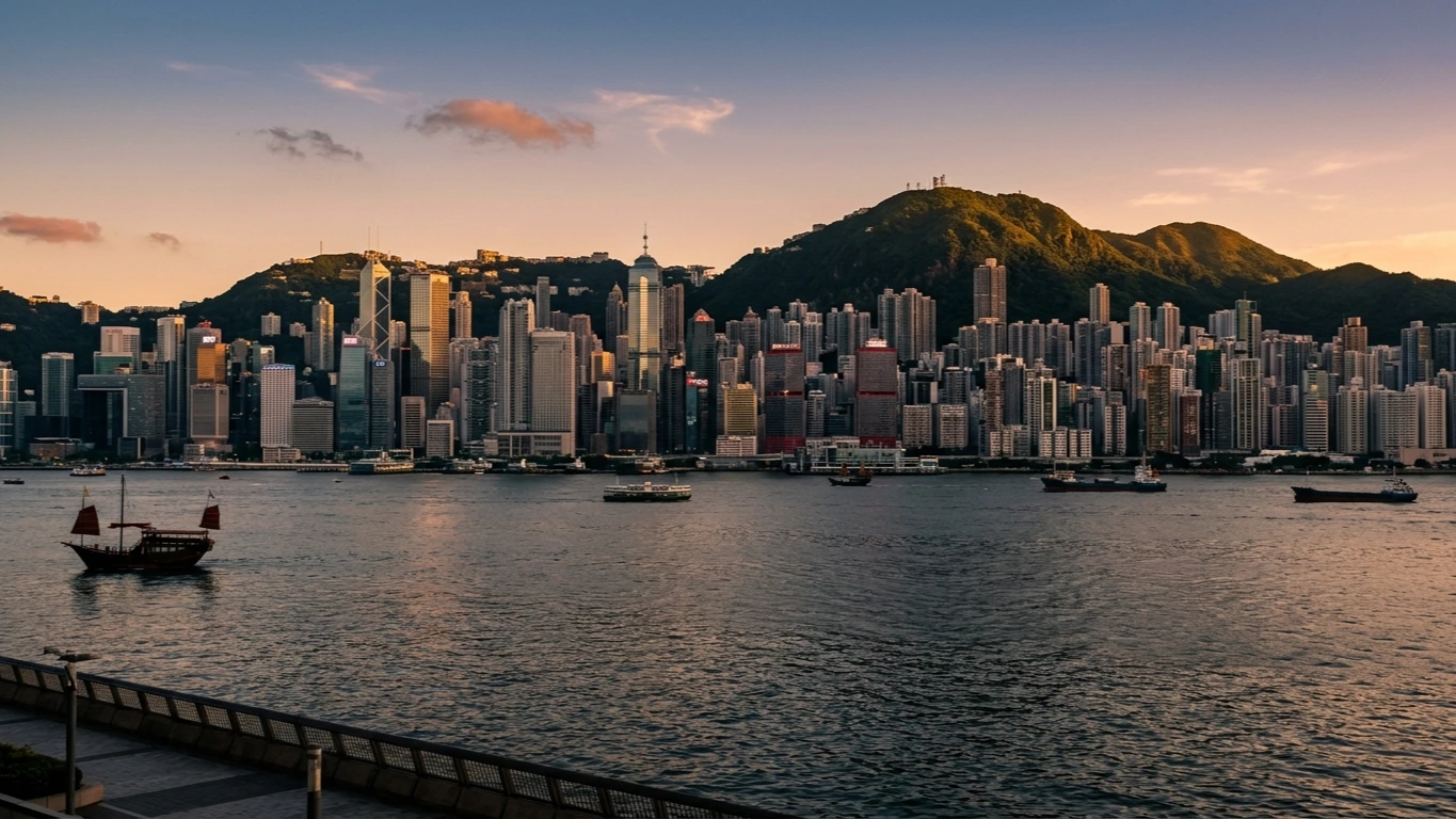
Vantage points, historic ferry crossings, and waterfront promenades that frame Victoria Harbour and Hong Kong's vertical skyline from both Hong Kong Island and Kowloon.
Download GeoJSONTemples, Sanctuaries & Classical Gardens
Incense-filled neighbourhood temples, timber-framed monastic courtyards, and hilltop sanctuaries reflecting Hong Kong's living spiritual and architectural traditions.
Download GeoJSONHeritage Quarters & Civic Landmarks
Conserved tenements, revitalised civic buildings, railway monuments, and historic compounds that trace Hong Kong's urban evolution across the island and Kowloon.
Download GeoJSON