New Zealand
Auckland: Volcanic Cones, Cultural Landmarks & Harbour Horizons
3 groups · 12 placesGenerated
Coverage and limits
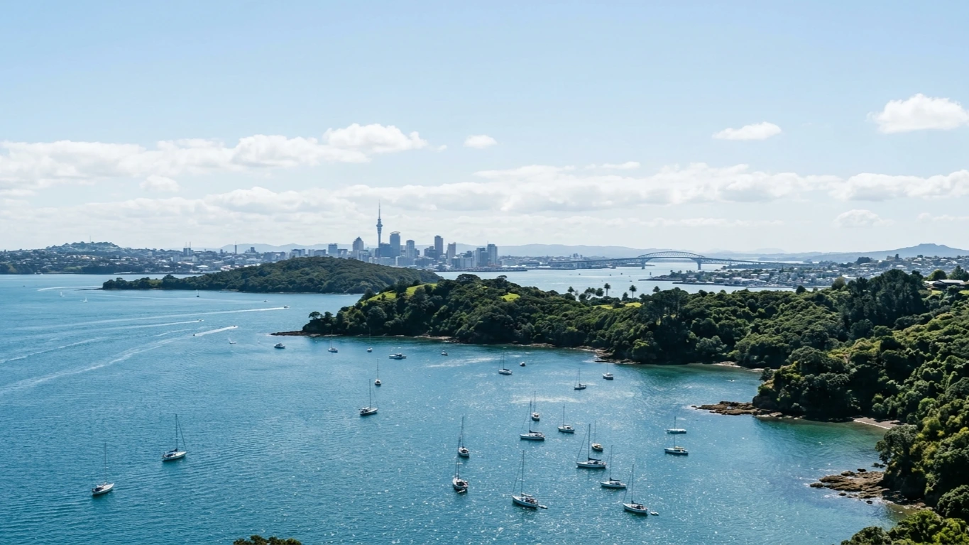
Covers central Auckland's volcanic cones and parklands, flagship civic and cultural institutions, and accessible waterfront and coastal viewpoints along the Waitematā Harbour and North Shore.
Loading map…
Sources and credits
Volcanic Cones & Parkland Lookouts
Green volcanic cones and historic parklands that reveal the geology, ancestral pā landscapes and harbour-to-harbour vistas of the Auckland isthmus.
Download GeoJSONCulture, Heritage & Skyline Landmarks
Major museums, galleries and architectural landmarks anchoring central Auckland's cultural and civic life.
Download GeoJSONWaitematā Waterfront & Coastal Horizons
Harbour basins, maritime heritage and coastal lookouts along the Waitematā Harbour and North Shore beaches.
Download GeoJSON