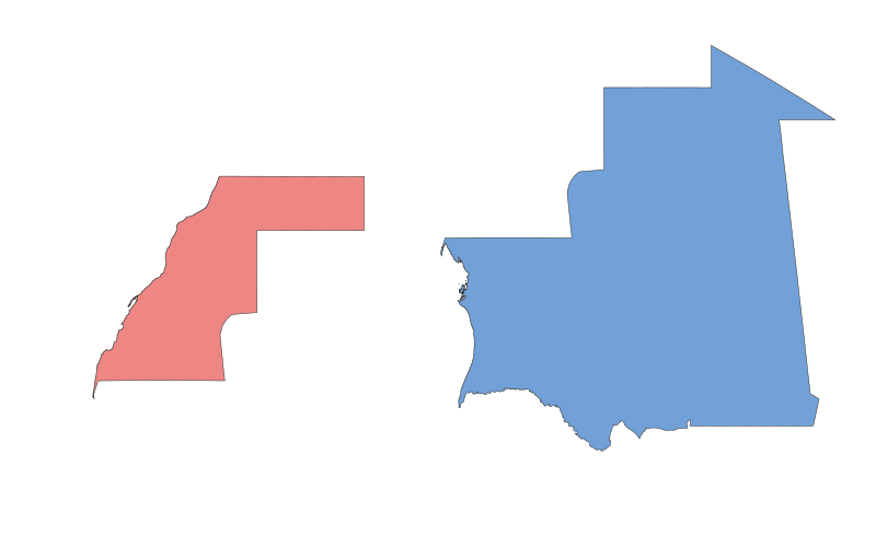
Western Sahara vs. Mauritania: A Geographical Comparison
Comparative Table
| Category | Western Sahara | Mauritania |
|---|---|---|
| Location | Northwest Africa, bordered by Morocco, Algeria, and Mauritania | Northwest Africa, bordered by Western Sahara, Algeria, Mali, and Senegal |
| Size | ~266,000 km² | ~1,030,700 km² |
| Climate | Arid desert; hot, dry summers | Mostly arid; hot, dry with seasonal rains in the south |
| Natural Resources | Phosphates, fisheries | Iron ore, gold, copper, gypsum, fisheries |
| Urban Development | Sparse; largest city is Laayoune | Nouakchott (capital) is the largest urban center |
| Transportation | Limited road network; no railways | Poor road infrastructure; limited railways |
Description of the Two Regions
Western Sahara
Western Sahara is a disputed territory in Northwest Africa, primarily controlled by Morocco. Its history is marked by colonial rule under Spain until 1975, followed by conflict between Morocco and the Polisario Front. The region's culture is heavily influenced by Sahrawi traditions, with a nomadic heritage. Economically, it relies on phosphate mining and fishing, though its status as a non-self-governing territory limits development. The landscape is dominated by the Sahara Desert, with extreme temperatures and minimal rainfall.
Mauritania
Mauritania, an independent nation since 1960, is one of the least densely populated countries in the world. Its history includes ancient Berber and Arab influences, with Islam playing a central role in its culture. The economy depends on mining (especially iron ore) and agriculture, though desertification poses challenges. The country features diverse landscapes, from arid deserts in the north to the fertile Senegal River valley in the south. Urbanization is low, with most of the population living in or near Nouakchott.