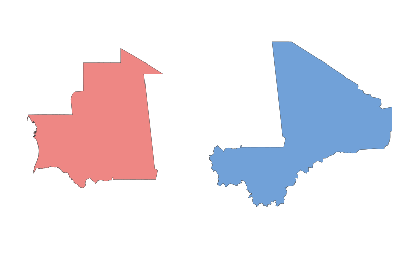
Mauritania vs. Mali: A Geographical Comparison


Mauritania vs. Mali: A Geographical Comparison - Image 1

Comparison Table

Category Mauritania Mali
Location Northwest Africa, bordering the Atlantic Ocean Landlocked in West Africa, bordered by 7 countries
Size 1,030,700 km² 1,240,192 km²
Climate Arid desert (Sahara dominates) Semi-arid to tropical (Sahel and Sudanian zones)
Natural Resources Iron ore, gold, copper, phosphate, gypsum Gold, uranium, phosphates, kaolin, salt
Urban Development Nouakchott (capital, coastal) is the largest city Bamako (capital) is the economic and cultural hub
Transportation Limited road network; Nouakchott port key Limited rail; relies on roads and Niger River for transport

Description

Mauritania

Mauritania, located in Northwest Africa, is characterized by vast desert landscapes, with the Sahara covering over 90% of its territory. The country gained independence from France in 1960 and has a rich cultural heritage influenced by Arab-Berber and Sub-Saharan African traditions. Its economy relies heavily on mining (iron ore) and fishing, though poverty and unemployment remain challenges. The capital, Nouakchott, is a rapidly growing urban center near the Atlantic coast.

Mali

Mali, a landlocked nation in West Africa, is known for its diverse geography, ranging from the arid Sahel to the fertile Niger River Basin. It was once the heart of the ancient Mali Empire, a center of trade and Islamic scholarship. Today, Mali faces political instability and economic struggles, but it remains culturally vibrant, with music and festivals like the Festival au Désert. Bamako, the capital, is the country's economic and administrative core, though infrastructure development lags behind population growth.

Both countries share historical ties through the trans-Saharan trade and face similar challenges, such as desertification and economic diversification.