New Zealand
Wellington: Harbourfront Culture, Hilltop Sanctuaries & Creative Spirit
3 groups · 15 placesGenerated
Coverage and limits
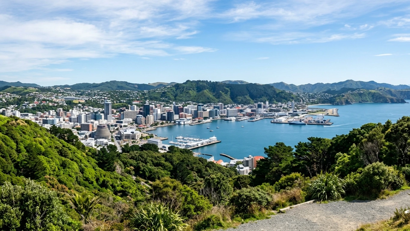
Covers central Wellington's harbourfront, Te Aro, Lambton, and Thorndon precincts alongside hillside sanctuaries in Kelburn, Karori, and Wilton, plus Mount Victoria and the Miramar Peninsula.
Loading map…
Sources and credits
Waterfront Culture & Bohemian Streets
Walkable harbourside museums, golden inner-harbour shores, and the creative pulse of Te Aro and Lambton Quay.
Download GeoJSONCivic Landmarks & Timber Heritage
Architectural icons of New Zealand's capital, from modernist parliamentary design and timber Gothic craftsmanship to commemorative hillside spaces.
Download GeoJSONHilltop Lookouts, Bush Sanctuaries & Miramar Peninsula
Panoramic ridgelines, regenerating native bird sanctuaries, ancient forest reserves, and the creative peninsula of Miramar.
Download GeoJSON