Seoul: Royal Courtyards, Fortress Ridges & Civic Design
3 groups · 10 placesGenerated
Also available in:简体中文繁體中文日本語한국어
Coverage and limits
Covers ten representative landmarks across central Seoul—primarily within Jongno-gu, Jung-gu, Dongdaemun-gu, and Yongsan-gu—spanning Joseon royal heritage, scenic ridges and urban streams, and major cultural and market hubs.
Loading map…
Sources and credits
Joseon Palaces & Living Heritage
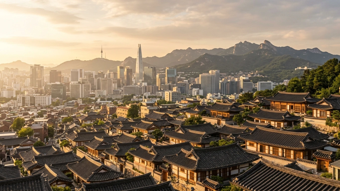
Anchored between northern mountain peaks and historic avenues, Seoul's Joseon-era palaces, ancestral shrines, and hillside hanok lanes reveal six centuries of royal planning and residential craft.
Download GeoJSONFortress Ridges & Urban Waterways
Seoul's topography of granite hills, historic fortress walls, and restored streams offers elevated viewpoints and green pedestrian corridors right through the dense urban fabric.
Download GeoJSONMarkets, Museums & Contemporary Design
From century-old covered market halls and encyclopedic national collections to futuristic civic architecture, these landmarks showcase Seoul's creative energy and everyday culinary life.
Download GeoJSON