New Zealand
Volcanic Headlands, Harbour Heritage & Gulf Beaches of the North Shore
3 groups · 12 placesGenerated
Coverage and limits
A curated twelve-place exploration of Auckland's North Shore across Devonport, Takapuna, Milford, Northcote and Birkenhead, grouped into volcanic cones and crater basins, harbourside heritage and cultural landmarks, and Hauraki Gulf beaches and coastal parks.
Loading map…
Sources and credits
Volcanic Cones & Crater Basins
Scoria cones, freshwater explosion craters and tidal volcanic basins that shaped the dramatic peninsulas and headlands of Auckland's North Shore.
Download GeoJSONHarbourside Heritage & Cultural Landmarks
Maritime gateways, industrial brick heritage and community arts venues anchored along the North Shore's waterfronts and lake edges.
Download GeoJSONHauraki Gulf Beaches & Coastal Parks
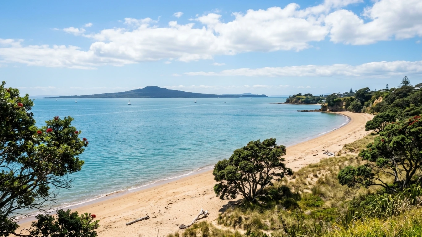
Golden Hauraki Gulf beaches looking out to Rangitoto Island and sheltered parkland reserves tucked into the North Shore's bays and volcanic basins.
Download GeoJSON