London Layers: Riverfront Icons, Intimate Museums & Green Horizons
3 groups · 12 placesGenerated
Coverage and limits
Twelve representative landmarks across Greater London organized into three thematic groups covering the Thames corridor, historic and decorative museums, and major parks and botanical landscapes.
Loading map…
Sources and credits
Thames Horizons & Riverfront Reinvention
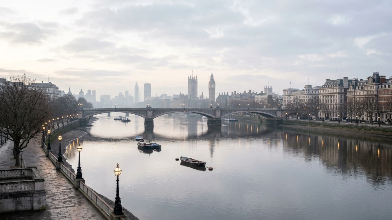
From a medieval fortress on the north bank to a converted power station, a railway-arch food hall, and the hilltop meridian in Greenwich, these riverfront stops show how the Thames has shaped London's commerce and architecture.
Download GeoJSONGreat Collections & Intimate Curiosities
London's museum culture ranges from vast glass-roofed national halls in Bloomsbury and South Kensington to atmospheric Georgian townhouses packed with paintings, architectural fragments, and decorative arts.
Download GeoJSONRoyal Parks, Heaths & Glasshouses
Green space defines London's rhythm as much as stone and brick—moving from manicured lakeside paths at the heart of Westminster to wild northern ridgelines and Victorian botanical glasshouses along the southwest Thames.
Download GeoJSON