China
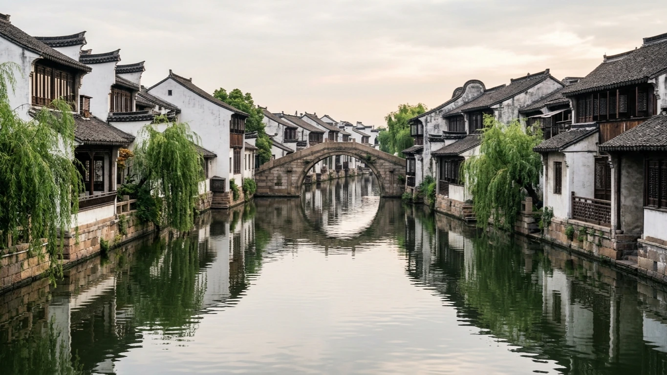
Jiaxing: South Lake Mist, Grand Canal Quarters & Walled City Heritage
3 groups · 12 placesGenerated
Also available in:简体中文繁體中文日本語Español한국어
Coverage and limits
Urban Jiaxing landmarks across Nanhu District, focusing on South Lake, Grand Canal historic quarters, walled-city ruins, municipal museums, and waterfront parks.
Loading map…
Sources and credits
South Lake & Lakeside Heritage
Island pavilions, lakeside pagodas, and modern historical landmarks centered on Jiaxing's best-known body of water.
Download GeoJSONCanal Quarters & Walled City Traces
Canal-side merchant lanes, ancient walled-city foundations, and early modern architecture in the historic urban core.
Download GeoJSONMuseums & Waterfront Parks
Archaeological collections, Grand Canal navigation landmarks, and tranquil urban lakes across Jiaxing.
Download GeoJSON