Jacksonville
Florida, Duval
Location
Population
1,009,833
People living in Jacksonville
Local Time
Time Difference with Major Cities Worldwide
Interactive Map Tools
Jump to interactive map tools centered around Jacksonville for various geographic calculations, visualizations or analyses.
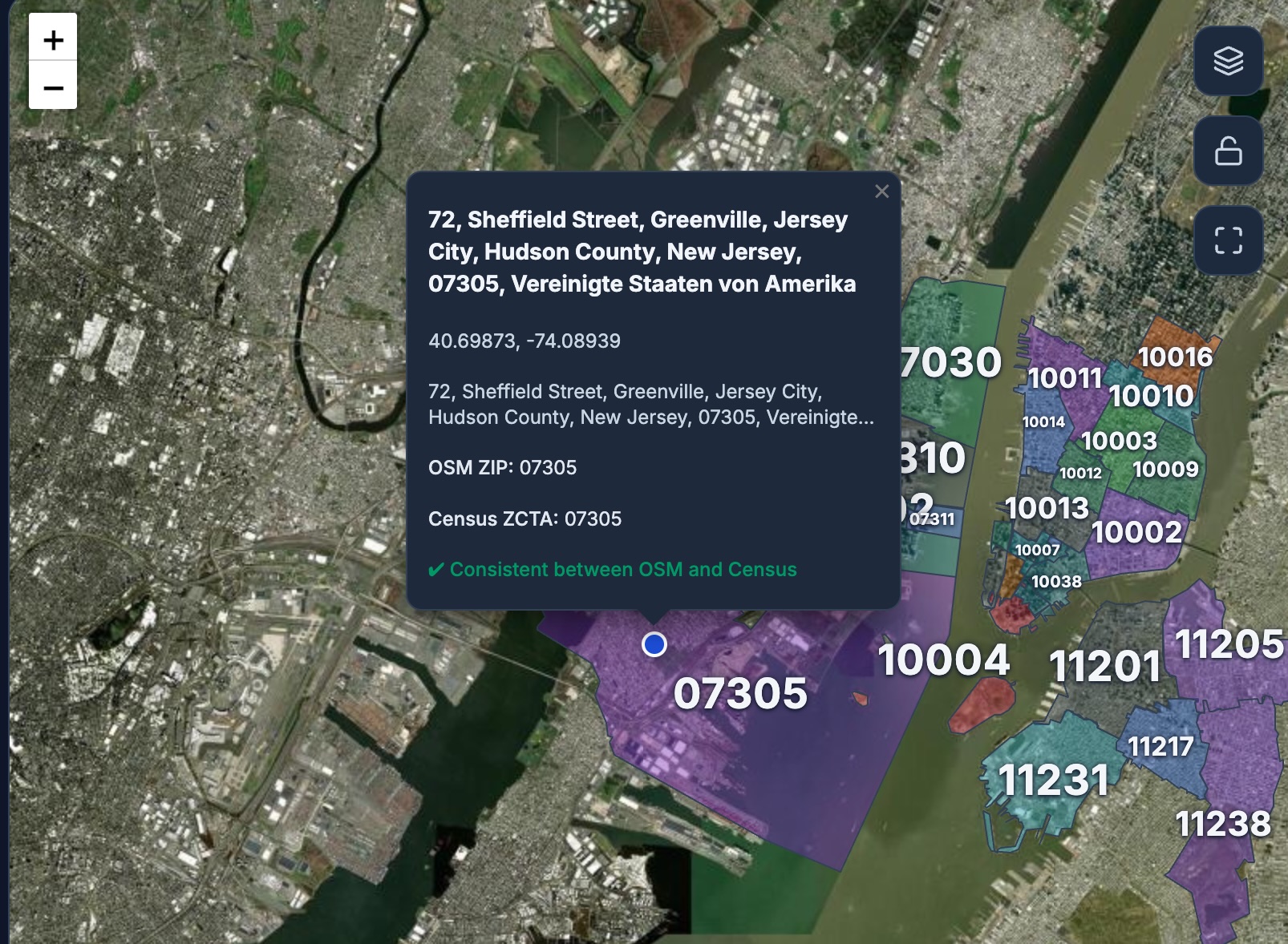
Jacksonville ZIP Code Map
Interactive ZIP code map for Jacksonville. View official ZCTA boundaries and explore local ZIP codes.
Map Annotate Tool for Jacksonville
Annotate maps with custom markers, shapes, and notes for Jacksonville. Perfect for planning and sharing geographic information. You can export your annotated maps as images or GeoJSON files.

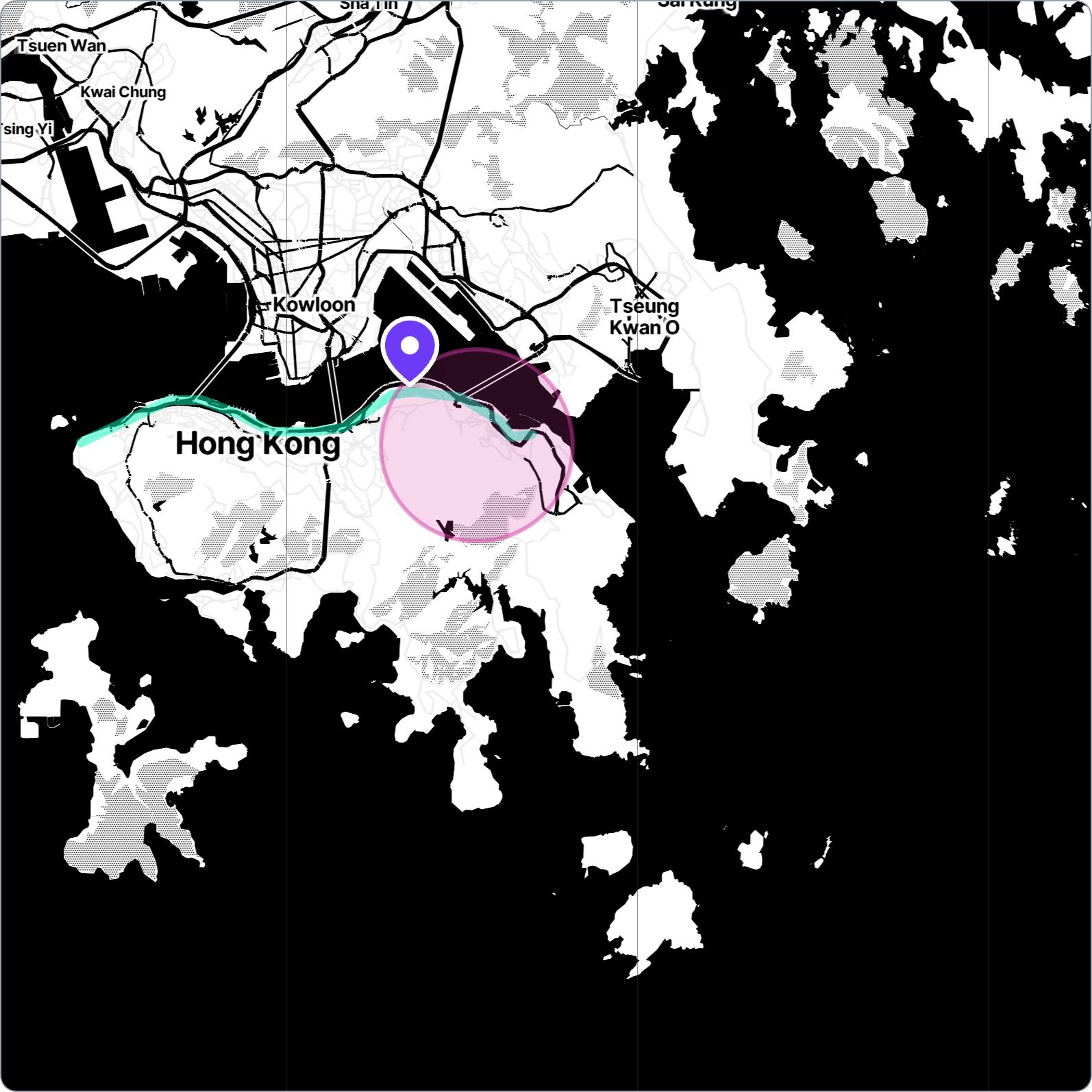
Population Within Radius Estimator for Jacksonville
Estimate the population within a specified radius of Jacksonville using our interactive map tool. Useful for demographic analysis and planning.
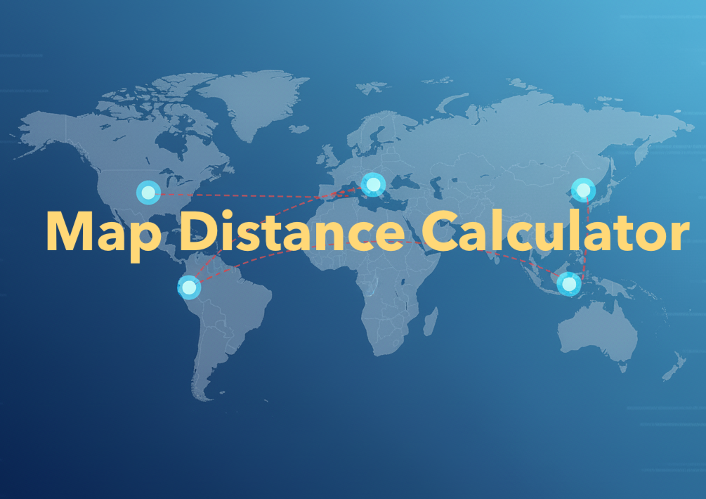
Map Distance Calculator for Jacksonville
Calculate distances from Jacksonville to any other location in the world with our easy-to-use map distance calculator tool, as well as measure local distances within Jacksonville.

Halfway Point Calculator for Jacksonville
Planning a meetup? Find the exact halfway point between Jacksonville and any other city or location. Perfect for meeting friends or business partners halfway.
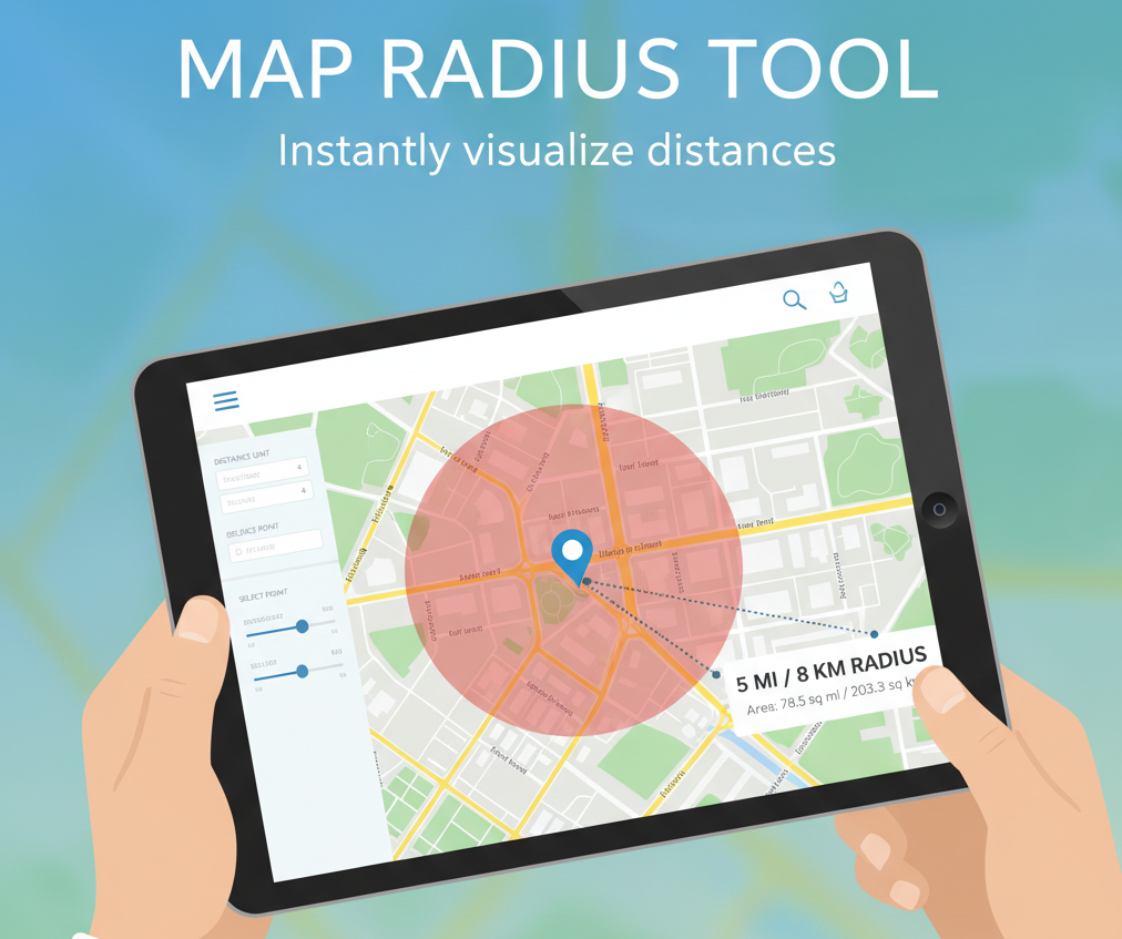
Radius Map Tool for Jacksonville
Visualize distance from Jacksonville by drawing a circle on the map. See what cities and landmarks are within a specific radius of Jacksonville.

Antipode Finder for Jacksonville
Ever wondered what's on the exact opposite side of the Earth from Jacksonville? Use our Antipode Finder to discover the antipodal point of Jacksonville.

Coordinates Finder for Jacksonville
Get the precise GPS latitude and longitude coordinates of Jacksonville, and find the coordinates of any other place on the map.

Elevation Finder for Jacksonville
Find the elevation above sea level for Jacksonville and explore the topography of the surrounding area with our interactive elevation map.
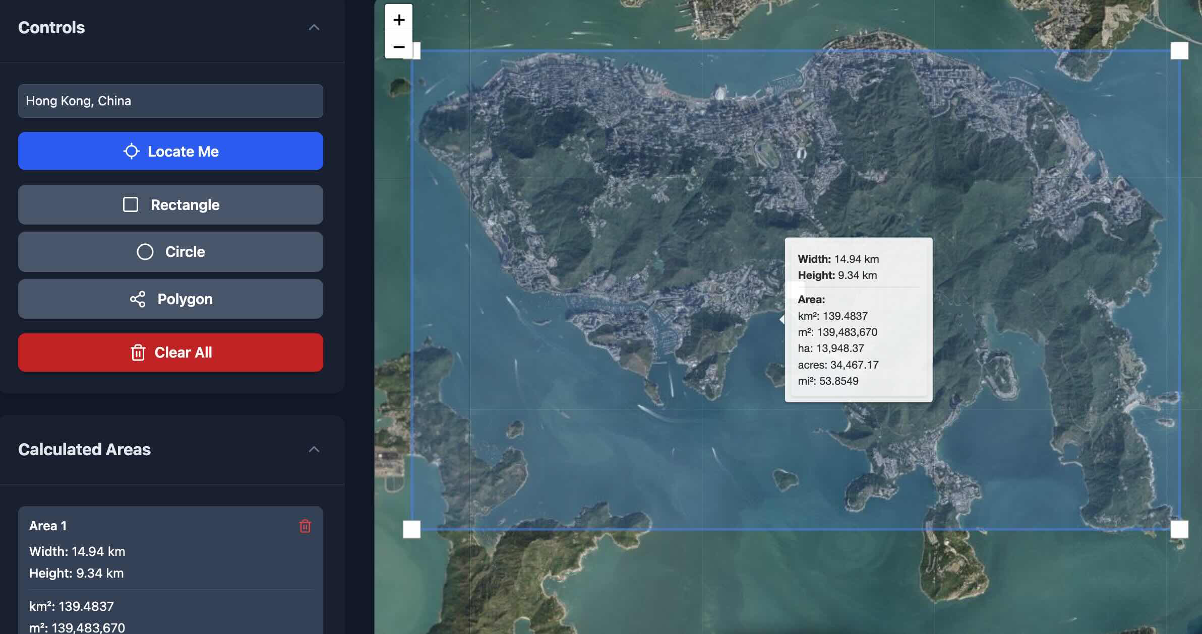
Map Area Calculator for Jacksonville
Measure the area of any land, park, or region in Jacksonville by drawing on the map. Useful for real estate, planning, or just curiosity.
About Jacksonville
This page provides comprehensive geographic and demographic information about Jacksonville. Use the interactive map tools to explore distances, areas, and elevations from this location.